Chicagoans make stop signs obsolete at Holstein Park

[flickr]photo:1579104642[/flickr]

Photo of the northern entrance to Holstein Park by YoChicago1. 

The stop sign has become obsolete, at least in the place where I’d expect most people want it, in front of a popular neighborhood park bustling with children.

No, those who are driving past Holstein Park aren’t stopping on their own, without the presence of a stop sign. The reverse is true: they are not stopping in the presence of a stop sign. The device is no longer used. Watch this video uploaded by “mea2214” of people driving east on Lyndale Street at Oakley Avenue (in the 32nd Ward). Here’s the Street View location.

[youtube]2hK-FOqC29E[/youtube]

Watch the video on YouTube.

Continue reading Chicagoans make stop signs obsolete at Holstein Park

Giro de Gerrymandering: pedaling the perimeter of the new First Ward

[flickr]photo:7466758406[/flickr]

Andrew Bayley’s ward map jigsaw puzzle. This and most photos in this post are by Bayley.

[This piece also runs in Time Out Chicago magazine.]

It was a blast from the past when Andrew “Cooter” Bayley, an old bike messenger colleague of mine, asked me to pedal the torturous boundaries of the newly redistricted First Ward with him. Back in January, just after City Council approved the new ward map, Bayley made headlines by using a computerized laser-cutting program to turn the map into a handsome, 50-piece Baltic Birch plywood jigsaw puzzle.

“I thought the new map was ridiculous, so I turned it into puzzle,” explained Bayley, who currently interns at an architecture firm. “Now I want to explore the interaction between this particular form of gerrymandering and the urban infrastructure that defines it.”

Continue reading Giro de Gerrymandering: pedaling the perimeter of the new First Ward

Construction of the 55th Street protected bike lane and road diet began Wednesday

55th PBL installation, Wednesday 27 June

The eastbound bike lane begins at this bus stop at Cottage Grove Avenue. 

Erik Swedlund shares these photos taken Wednesday and today of construction on 55th Street between Cottage Grove Avenue and Woodlawn Avenue.

Room for the cycle track is made possible by removing a travel lane in each direction. Elements of this project that are different from previous bike lane projects in Chicago are the mixed traffic areas for right-turn lanes and bus stops. Continue reading Construction of the 55th Street protected bike lane and road diet began Wednesday

Pier pressure: is there an alternative to the $45 million Navy Pier Flyover?

[flickr]photo:7458845842[/flickr]

Congestion on the Lakefront Trail at the Lake Shore Drive south bridge house leads to frustrating experiences, especially for those on wheels. 

The section of the Lakefront Trail between Randolph Street and Ohio Street Beach cannot comfortably handle the traffic present in the many congested areas around the Lake Shore Drive bridge, Navy Pier, and Jane Addams Memorial Park. The narrow width, awkward curves, and blind spots make for highly dissatisfied trail users, that includes the gamut of Chicagoans and visitors, using Segways, four-wheel pedal cars, skates, strollers, bicycles, wheelchairs, or their own feet. There’s not enough room for the number of people who pass through here. This section of the trail is used by individuals on work and social trips, as well as groups meandering from park to park along Lake Michigan. The City plans to build an elevated structure, called the Navy Pier Flyover, to bypass the congestion, but at an extreme cost. We propose a different project to meet the same goals of comfortable passage on the path with a much smaller price tag.

The main problem areas are at the north and south ends of the Lake Shore Drive bridge, on the sidewalk between the bridge and Grand Avenue, at the blind spot where the trail meets Grand at the corner of Lakepoint Tower’s parking garage, and in the congested area inside Jane Addams Memorial Park and Ohio Street Beach. The Navy Pier Flyover is a planned structure on the Lakefront Trail that will “fly over” these trouble spots. The Lakefront Trail path as it currently exists will remain open for those who don’t want to use the flyover. Additionally, an “off ramp” will be built from the overpass to Navy Pier alongside the Ogden Slip – this part is superfluous to addressing path congestion, but may be useful for some path users. The project does not sufficiently address congestion at Ohio Street Beach.

The Navy Pier Flyover is going to cost a jaw-dropping $45 million. To put this in perspective, in 2008 the Portland, Oregon, Bureau of Transportation estimated the entire replacement cost of its then 300-mile bike network at about $60 million. We propose an alternative solution to combat the same problems at a much lower cost, and with a far quicker construction time.

Continue reading Pier pressure: is there an alternative to the $45 million Navy Pier Flyover?

“Stop for Pedestrians” signs show up in Andersonville and Lincoln Park

[flickr]photo:7455165348[/flickr]

Photos taken at Clark and Olive by Kevin Zolkiewicz. 

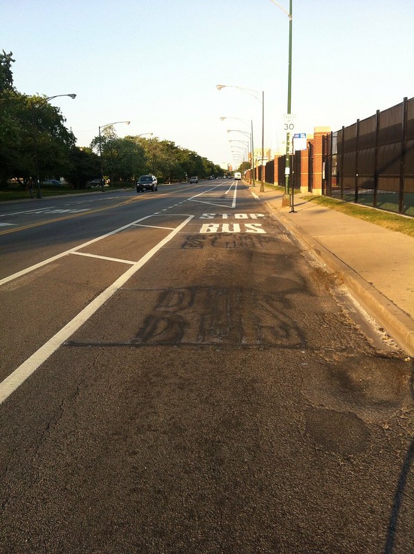
Kevin Zolkiewicz posted photos this morning of Chicago Department of Transportation (CDOT) workers installing new signs at Clark Street and Olive Avenue, and Clark Street and Summerdale Avenue, that inform drivers that they must stop for pedestrians in crosswalks. He adds:

These signs were added to this year’s list of menu items that alderman can select as part of their discretionary budget. Expect more to pop up around Chicago very soon.

This means that any alderman can use their annual $1.3 million “menu” fund to install these in the ward, alongside benches, bike lanes, street resurfacing, and a variety of other capital projects. Zolkiewicz went on to say why the signs are being installed:

State law was changed in July 2010 to require drivers to stop, and not just yield, to pedestrians in unsignalized crosswalks. But most drivers in Chicago haven’t gotten the message. These signs have been shown to increase compliance with the law.

The law applies to people in marked crosswalks and “in” unmarked crosswalks. We explained the difference in an earlier post.

[flickr]photo:7455166392[/flickr]

The first of 19 signs in the 43rd ward (Michelle Smith) was installed on Thursday, June 28, at 1700 N Stockton Drive, according to Bike Walk Lincoln Park. Other streets in the ward to receive them will be Lincoln Avenue, Clark Street, Diversey Avenue and Belden Avenue (see exact locations).

Two intersections in the 47th ward (Ameya Pawar) will be installed this year, at Addison Avenue and Hoyne Avenue, and Addison Avenue at Hermitage Avenue. View a list of other projects in the ward that will funded by the alderman’s discretionary “menu” funds (.pdf).

Updated June 28, 2012, at 21:12, to add news of this sign being installed in other wards. 

From safety to where? Discussing the future of safe streets at a CNU talk

[flickr]photo:7454454294[/flickr]

Rob Bielaski, Steven, Mark de la Vergne, Eric Dumbaugh.

By coincidence both Steven and I recently appeared on two different panels about sustainable transportation within a few days of each other. Last Thursday I was part of the talk “Chicago Cycling: What’s Next?” at the Peggy Notebaert Nature Museum in conjunction with their “Bikes! The Green Revolution” exhibit. Monday Steven participated in the discussion “Safe Streets,” hosted by the Congress for the New Urbanism (CNU) at the Jefferson Tap, 325 N. Jefferson in the West Loop. The panelists talked about what makes streets safe, and discussed new developments in Chicago street design.

Based in Chicago and headed my former Milwaukee mayor John Norquist, CNU is a nonprofit that promotes walkable, bikeable, transit-friendly, mixed-use development. Joining Steven on the panel, which doubled as CNU’s monthly happy hour, were Eric Dumbaugh, an associate professor at Florida Atlantic University who has authored more than forty books about transportation and urban planning, and Mark de la Vergne, a project manager at Sam Schwartz Engineering who has worked on Chicago’s pedestrian plan, the Streets for Cycling 2020 plan, and will be involved with siting and outreach for the city’s upcoming bike sharing program.

Continue reading From safety to where? Discussing the future of safe streets at a CNU talk